
How to Survey a Straight Line Through Trees

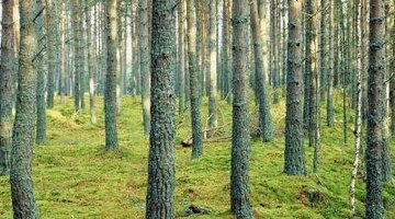
Surveying a straight line through a stand of trees has always been a challenge. Proper fencing, establishing ownership and the application of property taxes all depend upon having a clear definition of the extent of a property, indicating what belongs to whom. GPS locations for consumer use are not precise enough to allow more than a few feet off the mark, and do poorly under trees. Professional surveying GPS devices cost tens of thousands of dollars and are not available to most people. However, if there are two survey markers on either side of a small tree grove then it is possible to lay out a straight line between them without resorting to professionals.
-
Run equal-length string from both markers to just past the side of the grove that is closest to the markers. Label the line on the right side as line A, and the line on the left side as line B
-
Run a string that is parallel to the line between the markers. Label this line C.
-
Measure the angles between corners AC and BC. Adjust the lines as necessary to make both angles 90 degrees. When the angles match 90 degrees, then line C is perfectly parallel with the line thought the trees between the two markers.
-
Look for a gap in the woods that allows you to run a straight line D that is equal in length to A and B back into the woods from line C. Line D should have a right angle at corner CD.
-
Place a marker at the end of line D. This marker is along the straight line stretching from marker to marker.
-
Add more lines similar to D and stretching into the woods, each with its own marker at the end. Each straight line terminates in a point along the line between the two boundary markers. When enough markers are established it will give an indication of the path of the straight line between the markers.
Writer Bio
Jack Burton started writing professionally in 1980 with articles in "Word from Jerusalem," "ICEJ Daily News" and Tagalong Garden News. He has managed radio stations, TV studios and newspapers, and was the chief fundraiser for Taltree Arboretum. Burton holds a B.S. in broadcasting from John Brown University. He is a 26-year veteran of the U.S. Navy/Navy Reserves and the Navy Seabees.
Photo Credits
- Jupiterimages/Photos.com/Getty Images
More Articles